Old Maps and Road Names
When and where the New Moston area originated
When Elijah Dixon, the founding father of New Moston started purchasing land in the area around 1850, only a few roads existed, and weren’t even named.
Soon after, as houses began to be built, this became five streets – a few named after surname of the Elijah and his partners or people who Elijah wanted to recognise for their work elsewhere.
When the area was taken over by Manchester City Council in 1890, these streets were renamed to their current names.
Fun fact – there are no longer any “Streets” in New Moston, only Lanes, Avenues and Roads!
Here is a plan of the original New Moston area with the 5 streets named:
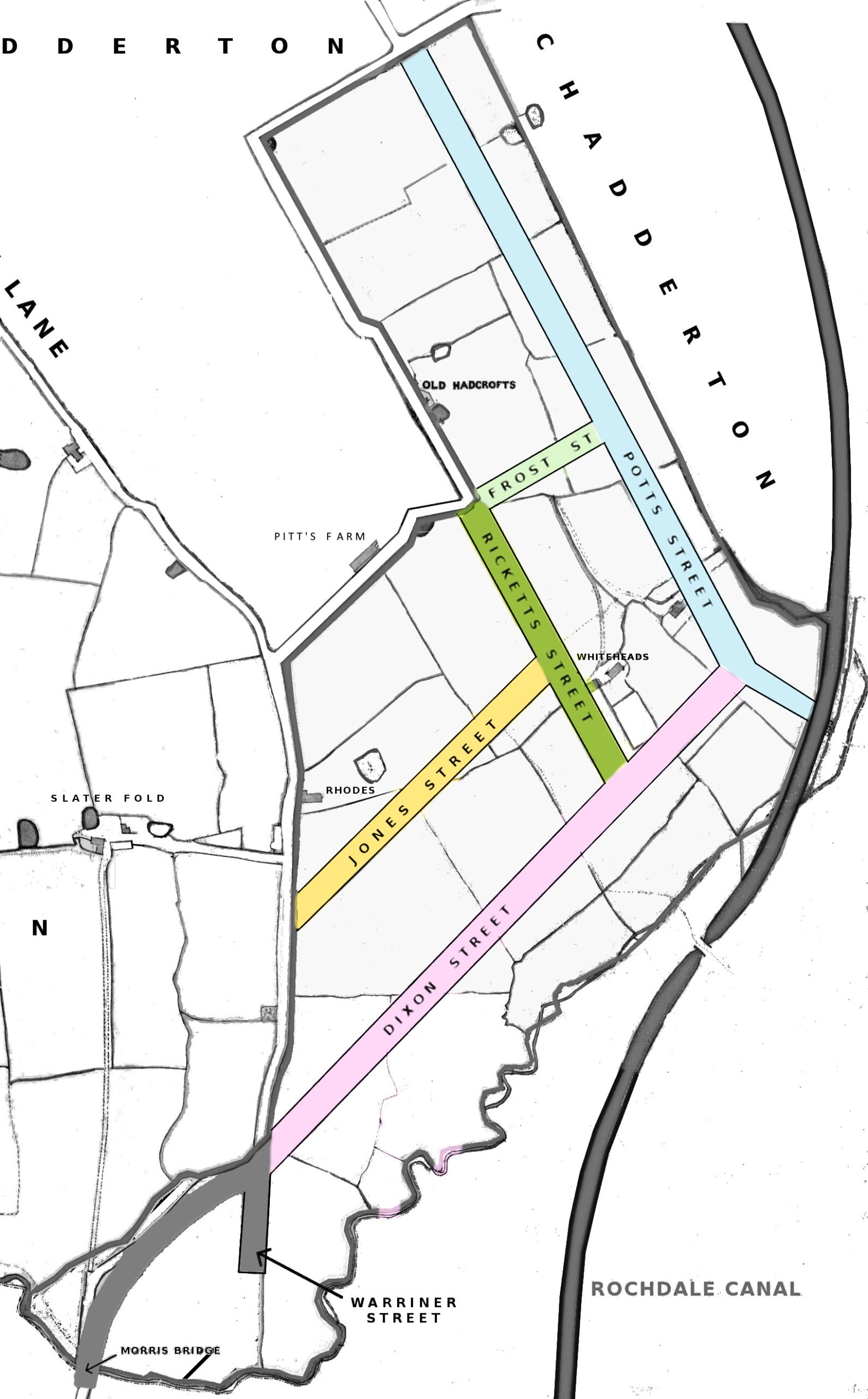
Dixon Street
(Belgrave Road)
Jones Street
(Eastwood Road)
Rickets Street
(Parkfield Road North)
Frost Street
(Hawthorn Road)
Potts Street
(Northfield Road)
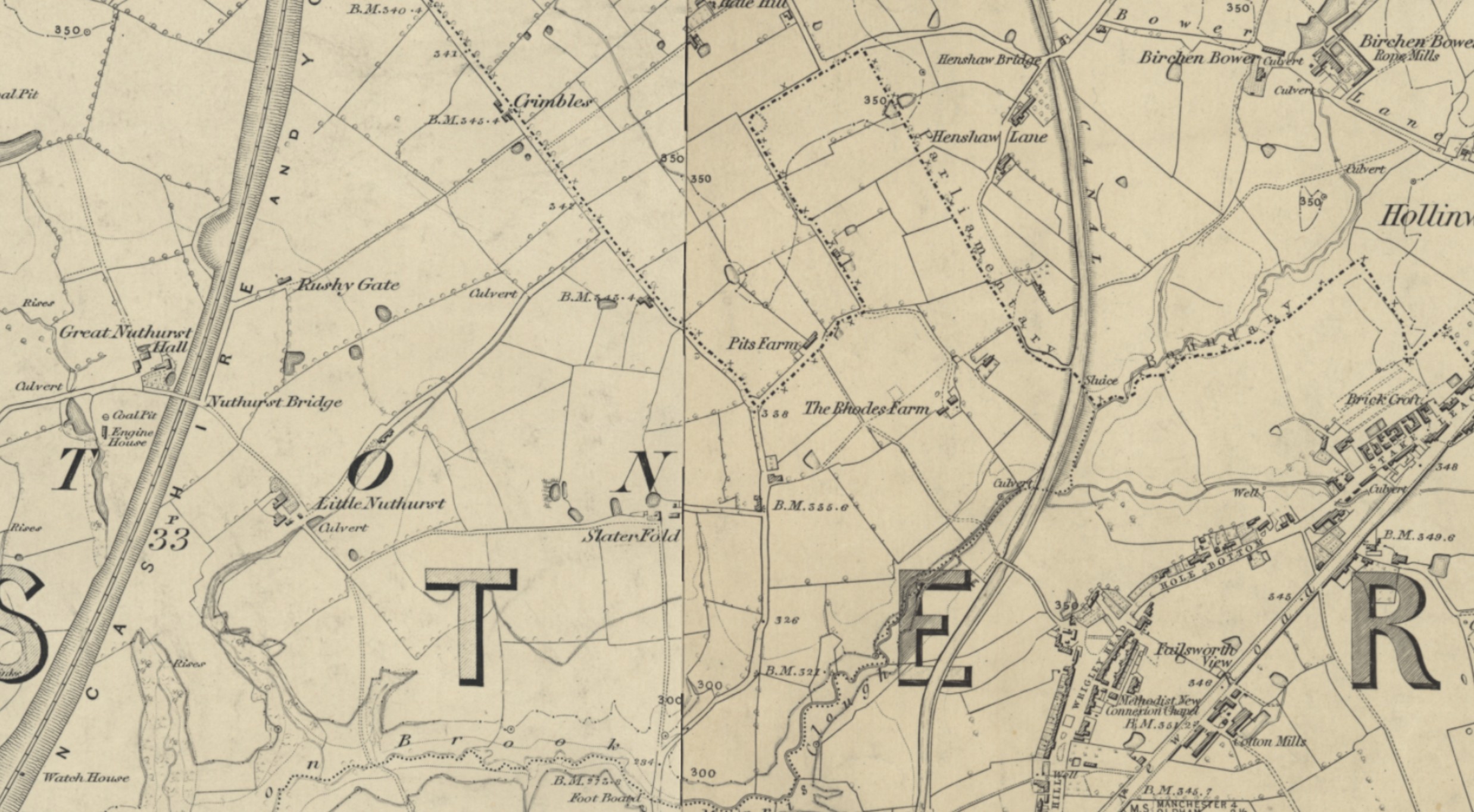
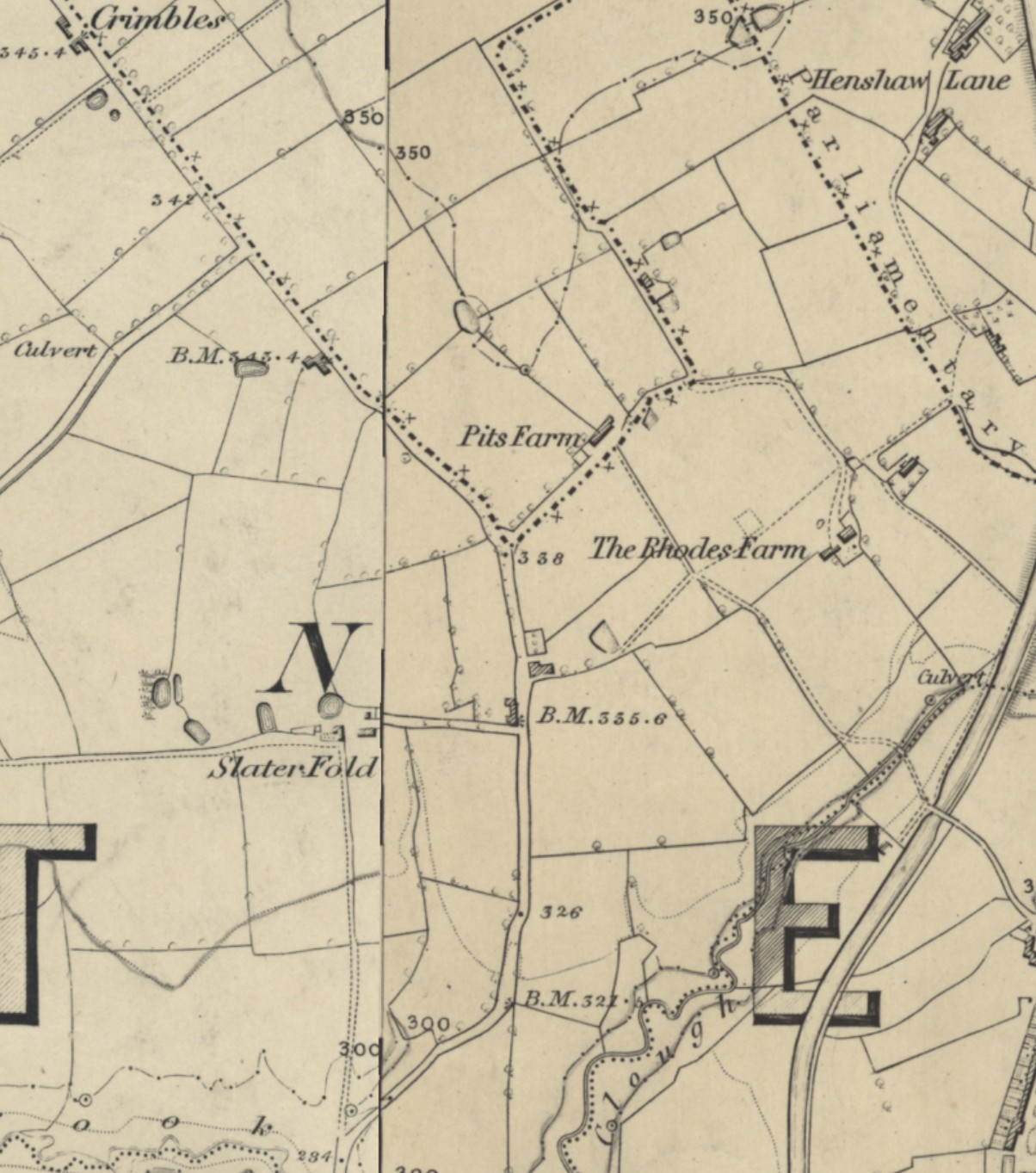
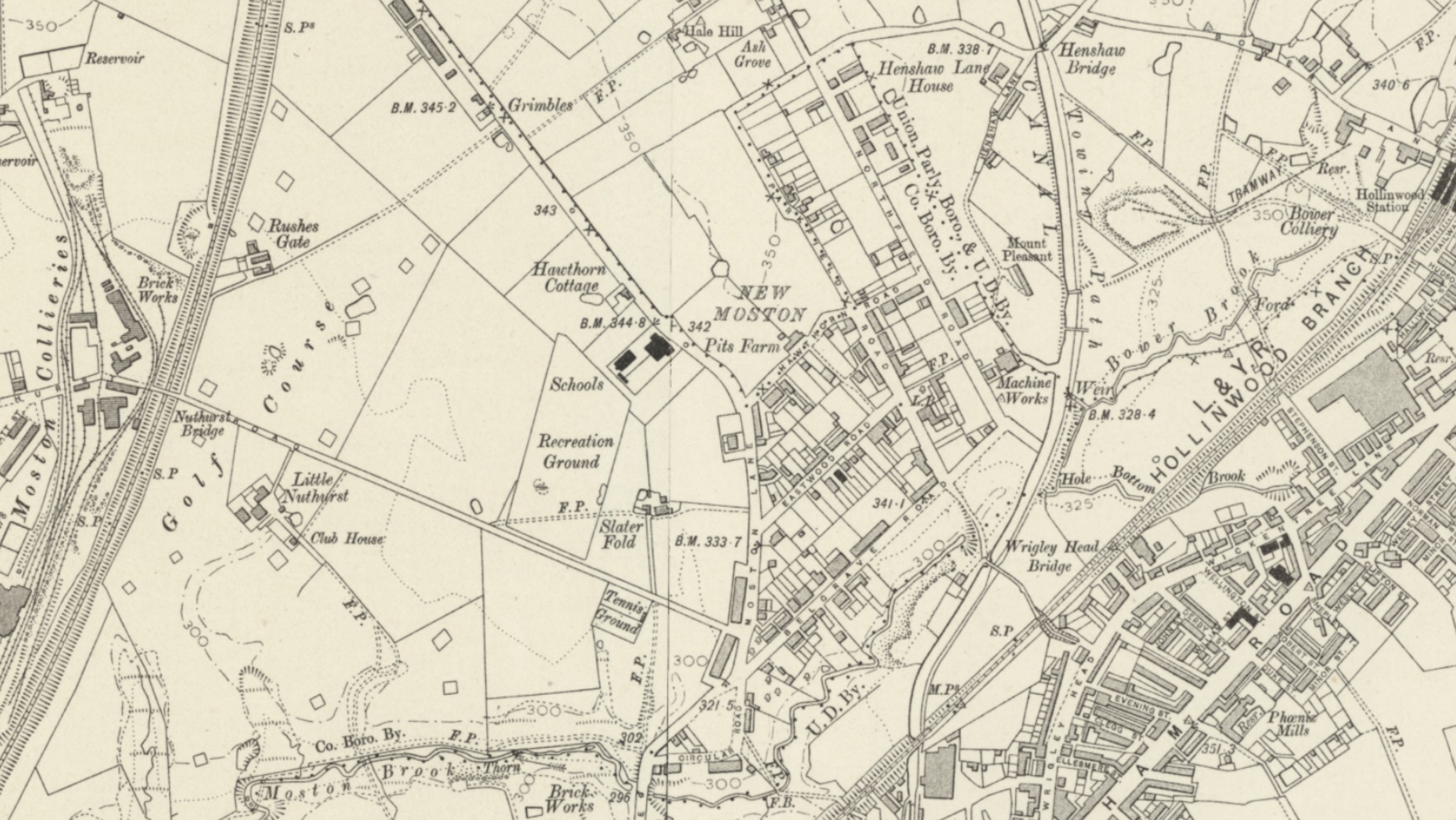
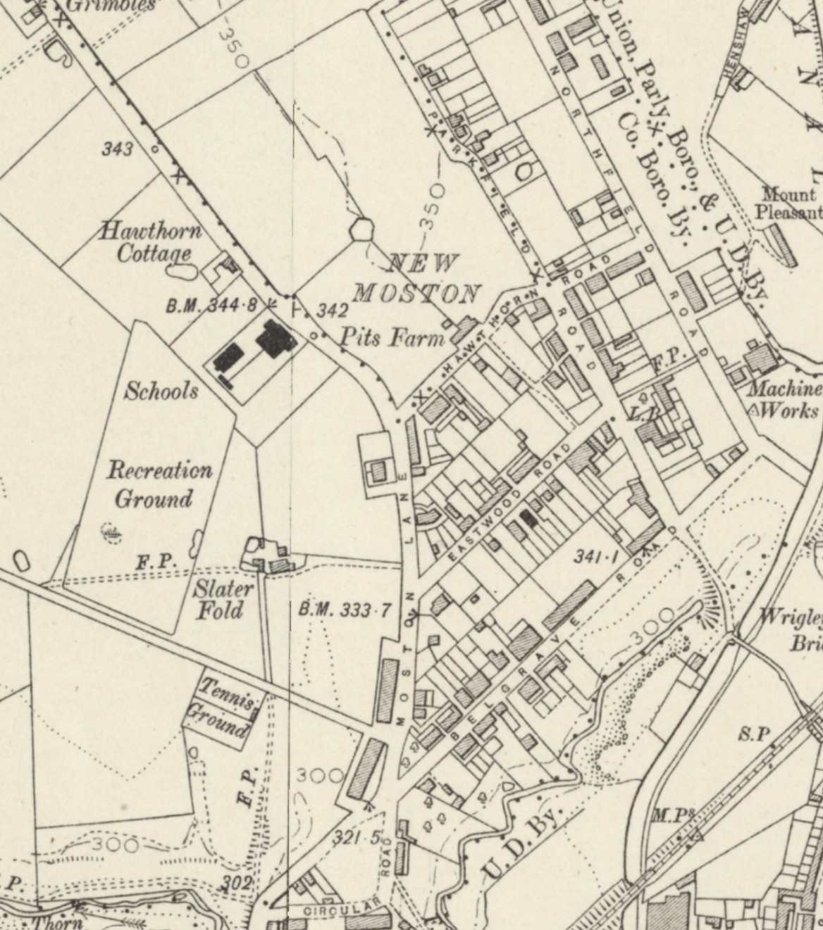
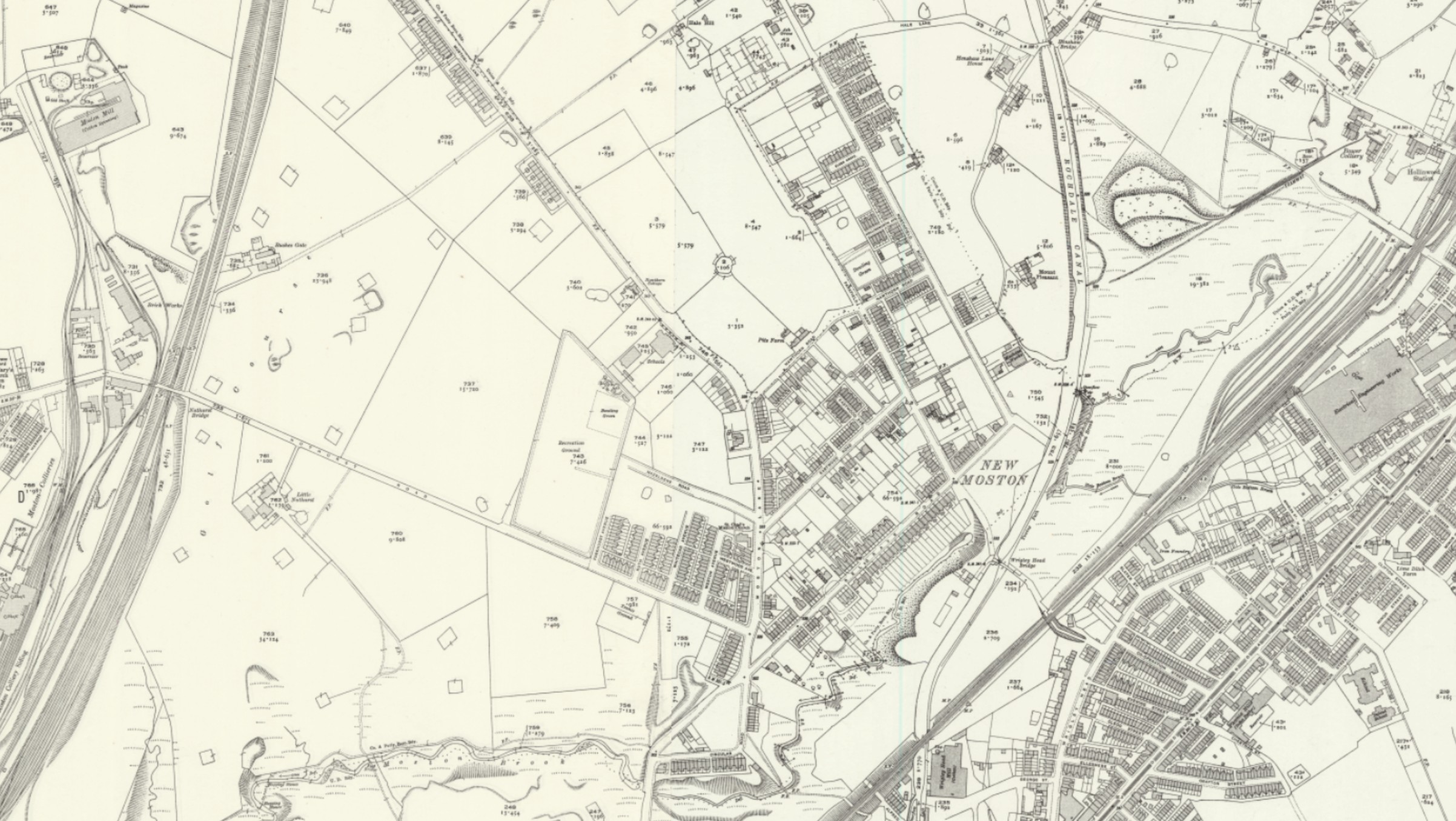
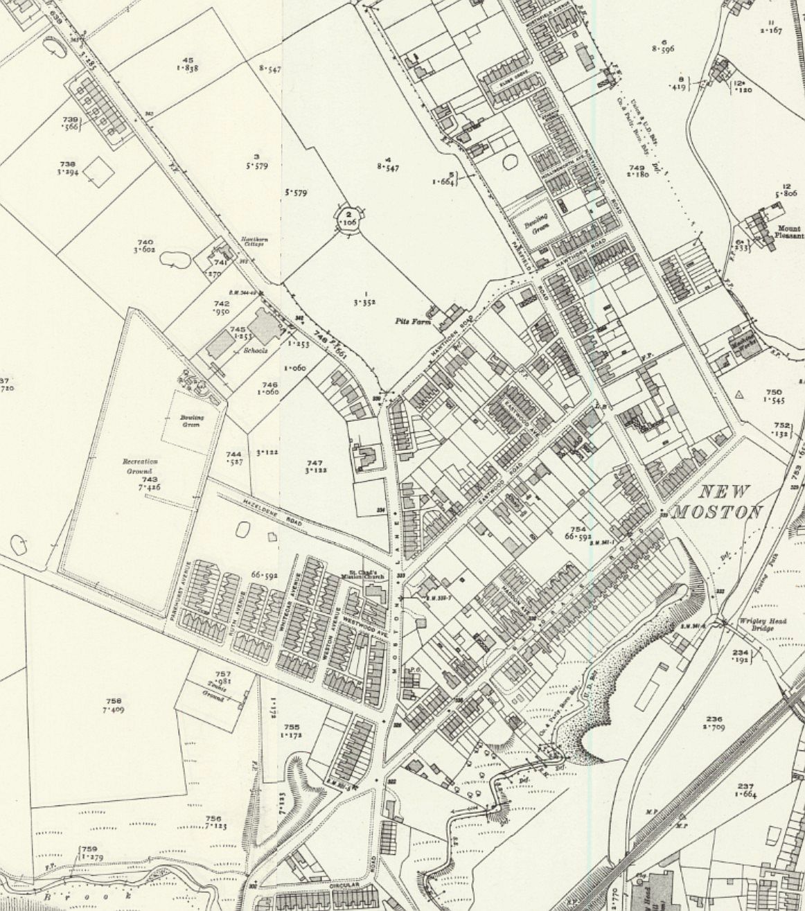
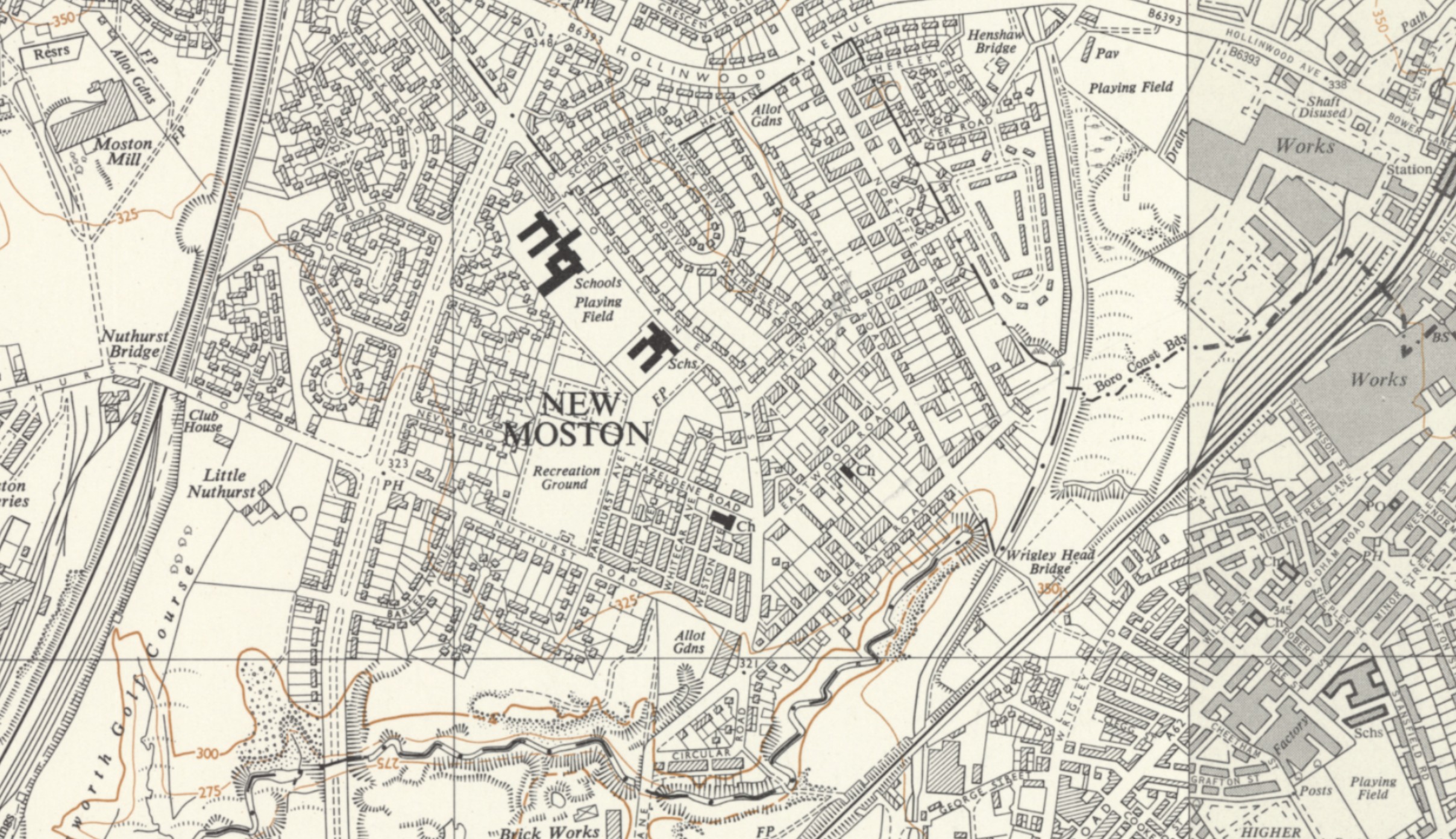
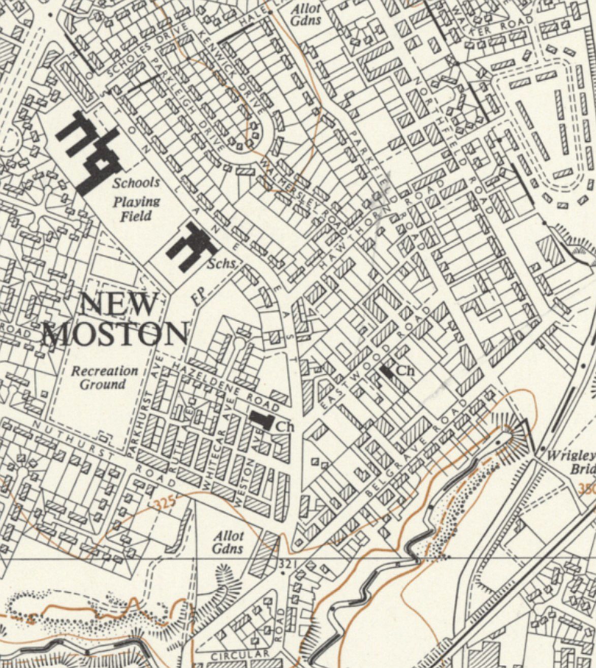
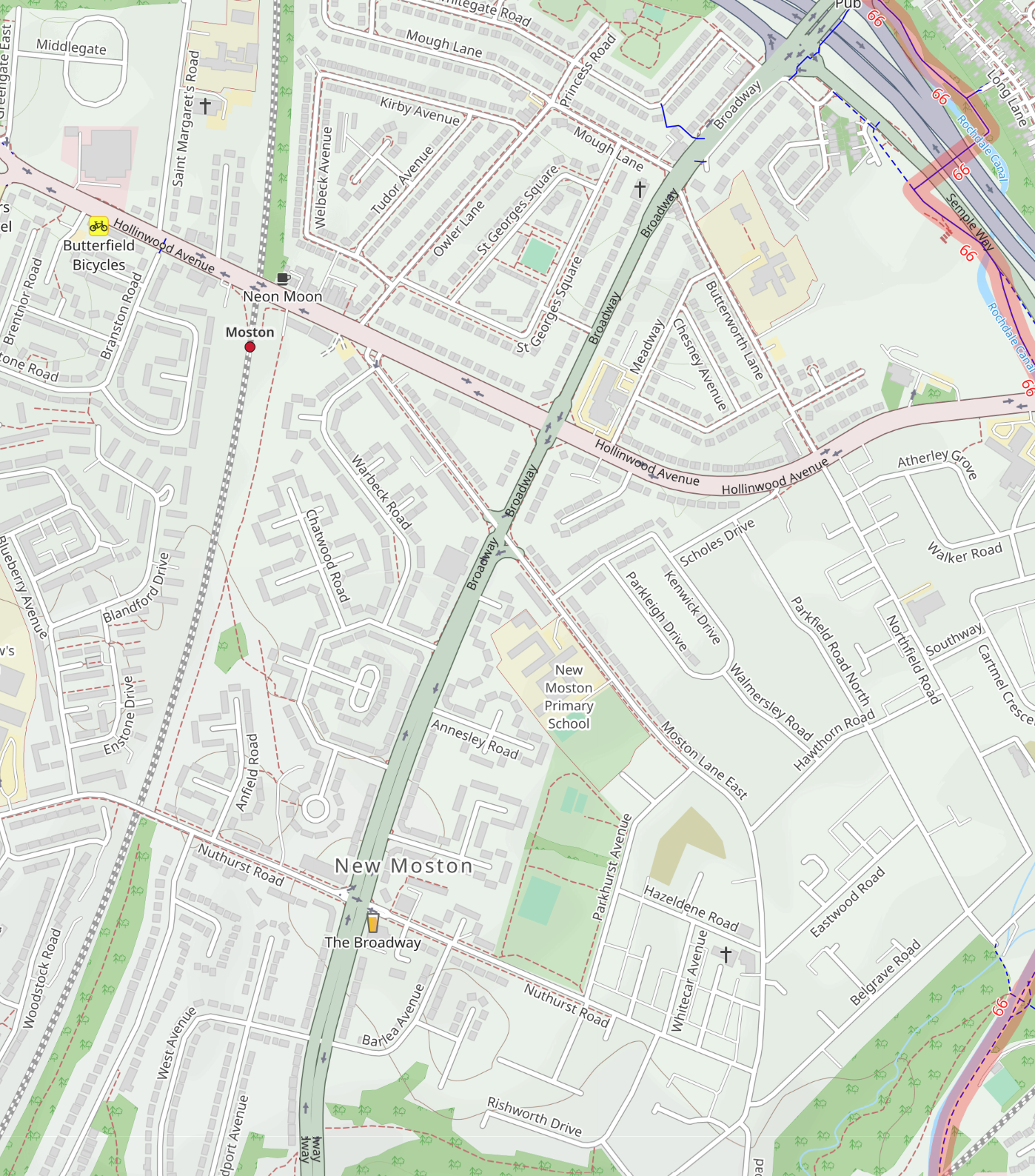
Old maps reproduced with the permission of the National Library of Scotland. Licensed under the Creative Commons Attribution (CC-BY) licence.